
"Penning" Land Use Plans in Northern Arizona - City / County team preparing and coordinating rural, city, and regional plans.
by Sara Dechter, AICP, CP3 and Melissa Shaw, AICP
For almost 30 years, Coconino County and the City of Flagstaff have shared the pen in land use planning. In the mid-1990s, planners from both organizations began collaborating on an Open Space and Greenways Plan. This collaboration led to a shared land use and transportation plan in 2001, and from there, the rest is history. Shared planning and vision are the ethos of the region—from the rural outskirts near the sacred San Francisco Peaks to a vibrant downtown and the Northern Arizona University campus, extending across the entire county. These organizations prepare for the future together.
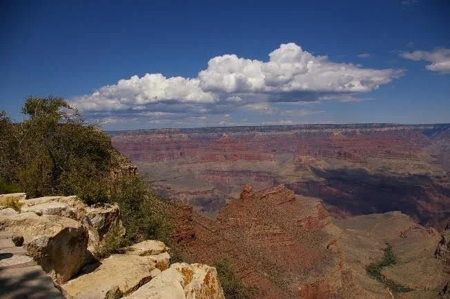
Coconino County, home to the Grand Canyon, is rural and sparsely populated; with nearly 12 million acres (over 18,000 square miles), it is the second-largest county in the contiguous United States. The City of Flagstaff, one of five incorporated cities or towns within the county and its largest population and economic center, is a growing university and mountain-town destination. Both face common issues, such as housing attainability, and share similar conservation and open space values. The shared metropolitan planning organization geography includes the City of Flagstaff and five unincorporated county communities (otherwise known as Census Designated Places, or CDPs), for which the city and county have jointly planned since creating the first Flagstaff Regional Land Use Plan (Regional Plan) in 2001.
In Arizona, cities and towns are required to adopt a general plan, while counties must adopt a comprehensive plan. Every 10 years, many Arizona communities update their plans simultaneously, including Coconino County and the City of Flagstaff. Each cycle presents city and county planners with new challenges and opportunities in updating the shared Regional Plan and navigating the overlapping update to the Coconino County Comprehensive Plan. The most recent cycle began about three years ago when both update processes were initiated nearly simultaneously.
Wrangling People and Plans
The county’s Comprehensive Plan reflects the rural lifestyle vision for the entire county. The Regional Plan applies to the City of Flagstaff and the five surrounding CDPs. It functions as the city’s General Plan and, as an amendment to the county’s Comprehensive Plan, serves as an added layer of guiding goals and policies within the region. The Regional Plan is unique in Arizona, featuring a planning area that is a mix of urban, suburban, and rural communities, where the differences in lifestyles and the provision of infrastructure and services can be significant. Developing a single planning document like the Regional Plan to meet the needs of the city, the county, and the local transportation planning agency requires coordination, shared project management, and the political will to look beyond the boundaries of a single jurisdiction’s priorities.
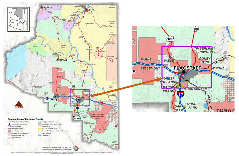
Coconino County and the Flagstaff Regional Land Use Plan boundary
To meet the wide variety of community needs that the Regional Plan supports, staff cast a wide net for public participation goals. They included engagement that was accessible and appropriate for every community demographic, including workshops and materials for Spanish speakers, youth engagement at public events and in schools, and meetings held in community gathering spaces ranging from downtown meeting rooms to rural fire stations.
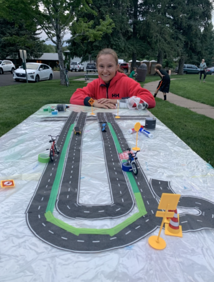
Art Box Outreach. Credit: City of Flagstaff
Challenges and Opportunities
The county and region’s geographic diversity is punctuated by a mix of land ownership patterns. Countywide, there is a vast amount of public and tribal land that is highly valued and respected by the communities, but over which neither plan has jurisdiction. Six Native American tribes’ sovereign lands occupy 39% of the county's land area, federal land agencies manage another 39%, and the Arizona State Land Department manages 10%, leaving just 12% of the land in private ownership.
Anticipating the challenges of merging urban and rural lifestyle visions into a single shared regional plan while simultaneously updating a countywide comprehensive plan, planners began coordinating weekly meetings. This led to hundreds of hours sharing ideas, information, data, and map exchanges. They found that overcoming these hurdles resulted in lasting benefits, such as new and ongoing webs of communication, messaging, and partnerships.
Sharing Resources, Partnerships, and Creative Planning
The city and county have access to different financial and technical resources. Seeing an opportunity to coordinate, planners turned resource gaps into advantages by sharing resources such as technical data, staffing for outreach and workshops, consultant expertise, and public comment analysis tools. By doing this, they filled resource needs, ultimately leading to robust and inclusive public input for both plans.
Both plans were guided by detailed public participation strategies that outlined the outreach for each, helping planners and staff coordinate events, media releases, newsletters, websites, and the sharing of public hearing dates. Both public participation plans were reviewed and endorsed by planning commissions and elected officials before the projects kicked off, and regular updates were provided to both planning and zoning commissions. This combined effort generated public interest in—and an understanding of—planning processes that otherwise might have been isolated and siloed.
One of the most significant differences between the Regional Plan and the county’s Comprehensive Plan is that the Regional Plan contains a future land use map, while the Comprehensive Plan does not. In developing the Regional Plan, local planners worked with Cascadia Partners, a planning firm from Portland, Oregon, to carry out an exploratory scenario planning process (XSP). Scenario planning weaves the region’s vision for the future into the land use map through publicly driven consensus-building exercises, transparent data analysis, and preparation for uncertainty. During this process, community members served on the technical advisory committee, participated in gamified workshops, and completed surveys.
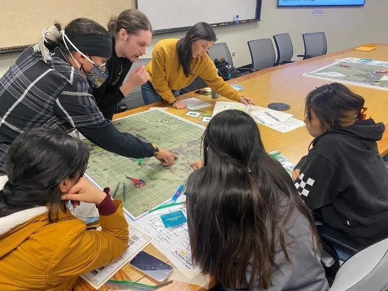
Scenario Planning. Credit: City of Flagstaff
For the Comprehensive Plan, planners designed an extensive focus group interview process, engaging 39 communities throughout the county by meeting residents locally at convenient venues. The goal of the focus groups was to spend quality time with small and diverse groups of county residents to introduce the comprehensive plan update, foster engagement, gather information about local needs and issues, and explore the community’s vision for the future. The focus groups were followed by a countywide telephone survey that tested the focus group findings. Based on this outreach, the plan’s vision, values, needs, issues, and ultimately, its goals, policies, and implementation plan were developed.
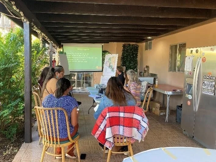
Focus Group Interview. Credit: Coconino County
City and county planners each formed technical teams with a myriad of state, federal, and local agencies to assist in developing the plan content, analyzing data, creating maps, and developing the vision, goals, and policies for both documents. Partnerships and meetings took place early and were ongoing throughout the process. This ensured that information, data, goals, policies, and implementation plans met the differing agencies’ missions and management approaches.
Each jurisdiction formed separate citizen advisory groups, invited by elected officials, to review the goals, policies, and implementation strategies of each plan. Engaging residents in an organized meeting process that was open and accessible to the public helped ensure each plan reflected the community's vision and facilitated the informed, successful adoption of both.
Combining Visions
Creating a shared document like the Regional Plan presents unique challenges regarding how to maintain a rural county vision within an urbanized geography. In addition to one plan (the Regional Plan) having a future land use map and the other not (the Comprehensive Plan), the city has adopted a Ten-Year Housing Plan and a Carbon Neutrality Plan. Also, as is typical of a large rural area, Coconino County provides limited public services, whereas the city provides the full suite of public services expected in an urban area.
To avoid confusion and clarify expectations for city and county residents, planners bifurcated a small selection of goals and policies in the Regional Plan to clearly identify those that apply to each specific jurisdiction. This approach provided assurance to residents and decision-makers that the Regional Plan reflects a shared vision.
Informing Elected and Appointed Officials
The need for clear and consistent messaging requires ongoing engagement with appointed and elected officials to raise awareness of the planning processes taking place in both the city and county. From the beginning of both processes, staff sought buy-in from elected officials at regular joint meetings of the City Council and the Board of Supervisors.
For the Regional Plan, after the 60-day public review, staff organized a day-long retreat for all City Council members, the Board of Supervisors, and both city and county planning commissions. The goal was to take a deep dive into the Regional Plan’s goals, policies, and land use map, and to provide a forum for discussing its most complex issues. This facilitated, streamed event was open to the public, providing an opportunity for direct, open dialogue and communication among elected and appointed officials, and allowing them to hear public comments about the plan. This feedback was essential in creating a document that addressed concerns prior to public hearings.
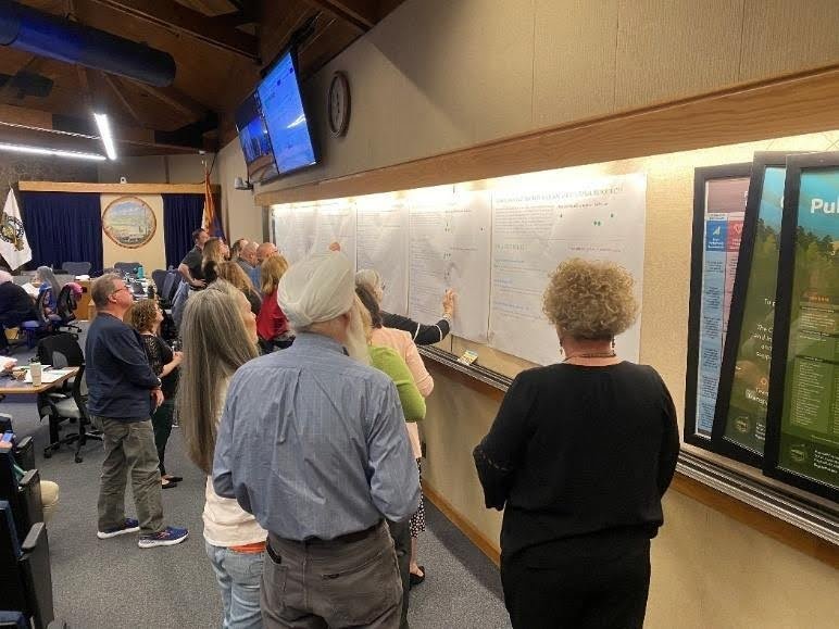
Joint city-county retreat. Credit: City of Flagstaff
Communicating Different Adoption and Voter Ratification Requirements
The Arizona Revised Statutes have different adoption requirements for cities and counties regarding public hearings and adoption. Cities and towns with more than 25,000 residents must send a General Plan to the voters as a ballot initiative for ratification. With a population of approximately 76,000, the City of Flagstaff must follow this requirement. Although the Regional Plan geographically includes unincorporated portions of the county, county residents will not vote on it. These different approval requirements presented both a communication issue—why can’t a county resident vote on the plan?—and a timing issue—how to schedule the public hearings to minimize confusion between the two distinct plans? And finally, if the county adopts the Regional Plan and it is not ratified by city residents, what then?
In total, approval of the County Comprehensive Plan and the Regional Plan documents required seven public hearings: four for the county to adopt both plans, and three for the city to adopt the Regional Plan. Public hearings were scheduled throughout the fall and winter of 2025/2026, requiring planners to closely coordinate messaging and timing. Both plans have since been adopted.
To ensure transparency for the public and expeditious timing for elected officials and the county elections office, the city held hearings first, as calling an election takes approximately six months. The city welcomed and encouraged participation from county residents in these hearings in acknowledgment of shared decision-making. If the Regional Plan is approved by voters in May 2026, it will go into effect immediately in the city, and in June for the county. The county effective date was intentionally planned to be after the city vote to provide flexibility for a voter outcome that might require revision. The Regional Plan included an administrative change category that allows staff to keep the documents in sync.
Valuing Community Voices
Local community planning and the plans created by the process are valuable tools that reflect a community’s voice. The successful adoption of both the Regional Plan and the county’s Comprehensive Plan highlights the importance of early and continuous coordination, communication, and engagement between organizations. The final outcome of the Regional Plan will be decided by city voters in May 2026. Stay tuned!
Resources
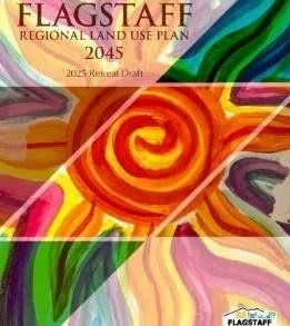
Flagstaff Regional Land Use Plan. https://flagstaff-regional-plan-2045-flagstaff.hub.arcgis.com/
City of Flagstaff, Ten-Year Housing Plan. 2022. https://www.flagstaff.az.gov/DocumentCenter/View/72509/Flagstaff-10-Year-Housing-Plan---FINAL-6152022
City of Flagstaff, The Flagstaff Carbon Neutrality Plan. 2022. https://gis.flagstaffaz.gov/portal/apps/sites/#/carbon-neutrality-plan
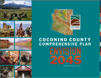
Envision 2045 Coconino County Comprehensive Plan. https://www.coconino.az.gov/2207/Comprehensive-Plan-and-Amendments
About the Authors
Sara Dechter, AICP, CP3 is the Comprehensive and Neighborhood Planning Manager for the City of Flagstaff. She has 20 years of combined experience in federal environmental management and local government planning. She strives to generate inspiring public participation in complex social, economic, and environmental settings in a holistic and future-focused way. Her core belief is that we make better decisions together.
Melissa Shaw, AICP, has over 30 years of experience in urban, rural, and environmental planning. While writing this article, she was Coconino County’s Long Range Planner, and by the time it is published she will be retired. She will maintain her passion for planning by volunteering for the Western Planner between trips roaming the west and beyond.